Like many other geography nerds, I greatly enjoy maps. I’ve tried to always keep one on hand, posted prominently where I live. Currently, I’ve got a scratch-off US map mounted on the wall (based on the Lambert Azimuthal projection, a not-that-bad equal area projection), which is fun for all of my new travel destinations.
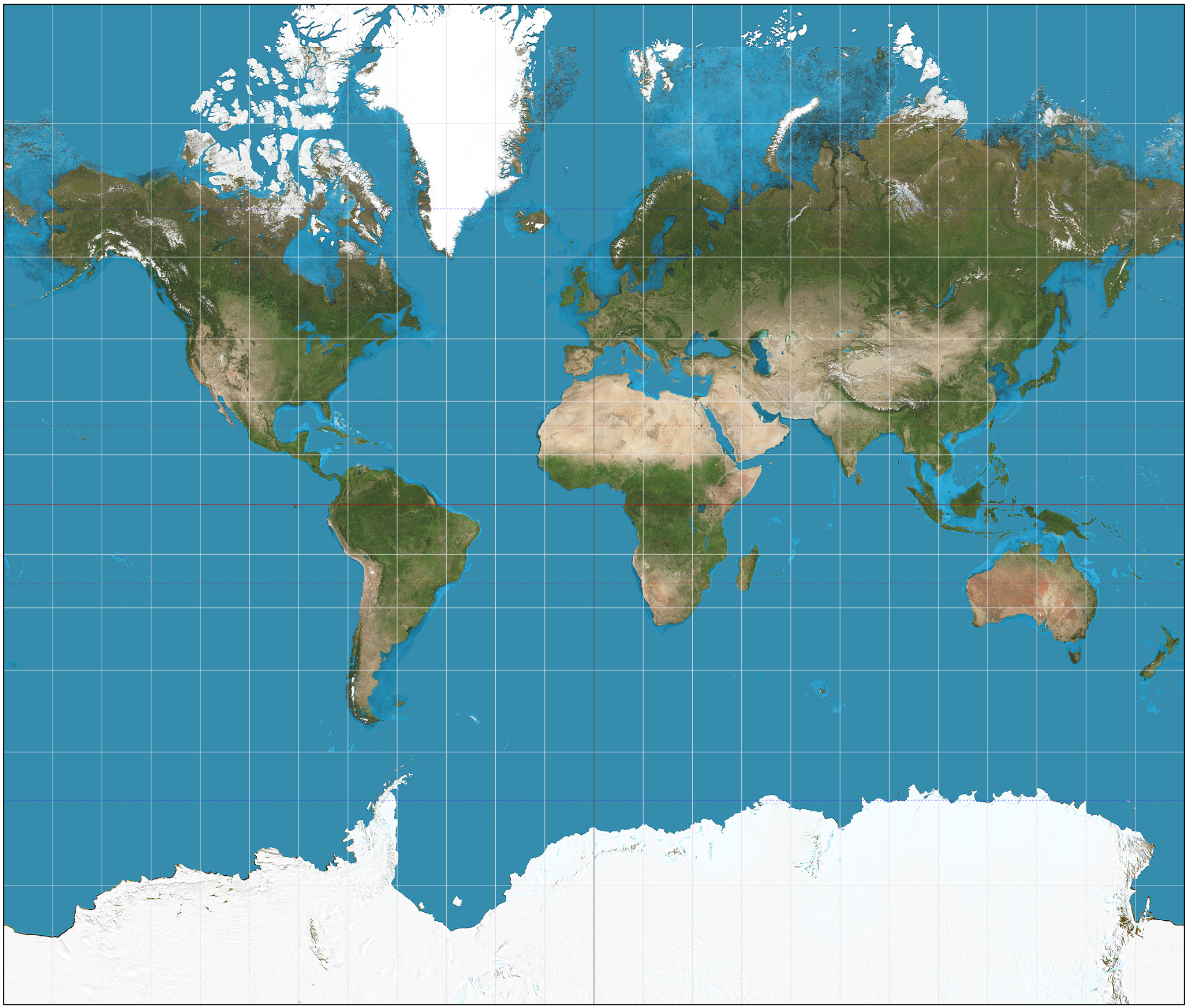
Two dimensional world maps are inaccurate. Always. Because it’s impossible to perfectly cast the surface of a three dimensional sphere onto a two dimensional flat surface, two dimensional maps distort the world in ways that change shapes, angles, and sizes of space (read: countries) relative to each other. Some maps are worse at this than others. For example, the common Mercator projection is a fairly awful world map. Yet, that hasn’t stopped people from using it.
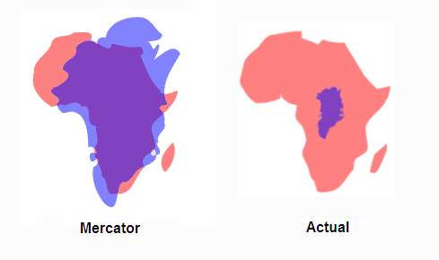
Hint: Greenland is NOT as big as Africa (Greenland is in Purple. Africa is in Red-ish.)
Better maps
Around the age of 8, I was introduced to the Dymaxion map, which was followed by a study of basic probability using M&Ms. However, the map didn’t really catch on, though you can do many really cool things with the map.
Enter AuthaGraph!
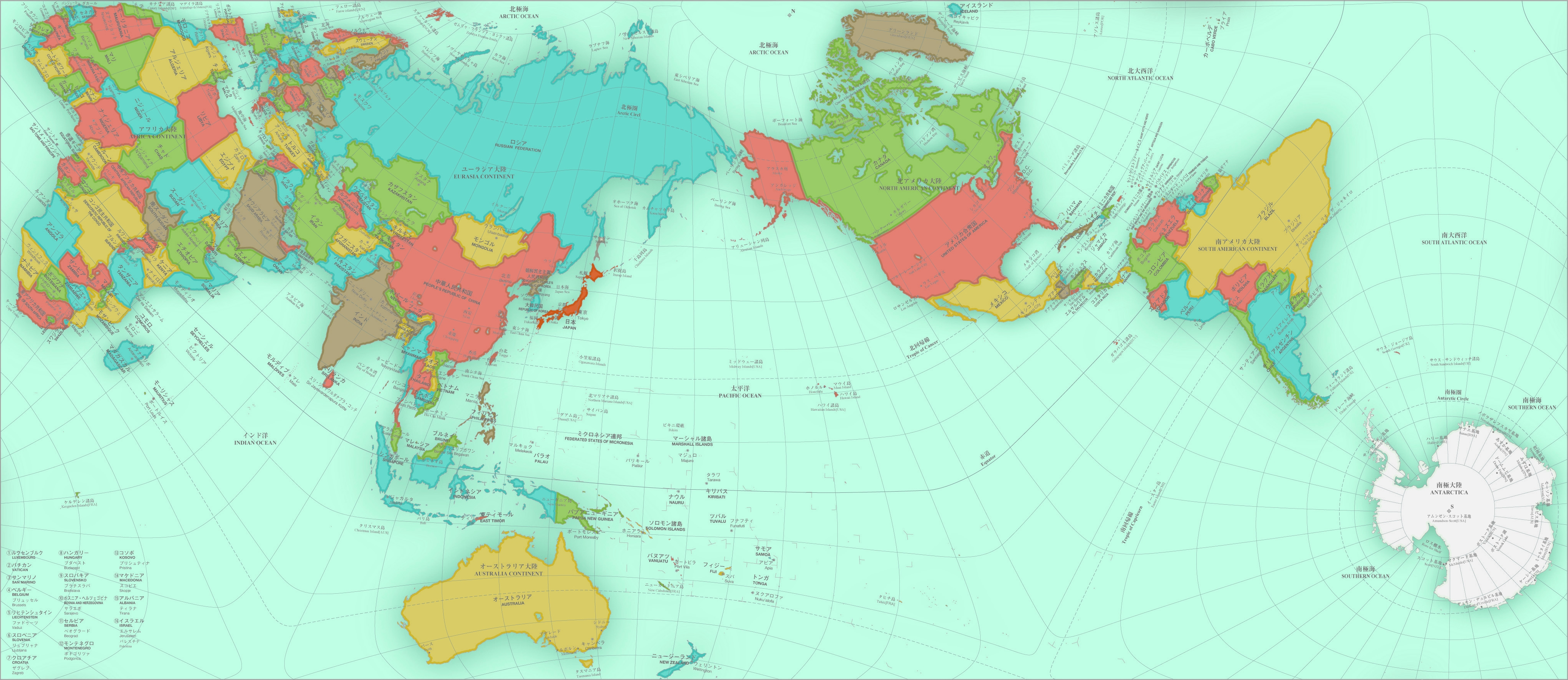
I recently came across a new world map that I think takes the cake: the AuthaGraph projection, created in 1999 by Japanese architect Hajime Narukawa (鳴川肇). The basic idea is “dividing the world into 96 triangles, flatting and transferring into a tetrahedron form. The dividing technique allows the map to be “unfolded” into a rectangle while still keeping the proportions of the continent.” (Wired) Many online outlets have reported on this map (Wired, InterestingEngineering, Popular Mechanics, etc) so go there for more info.
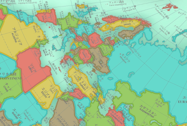
And now, onto the AuthaGraph map (Click to see the full size version!)
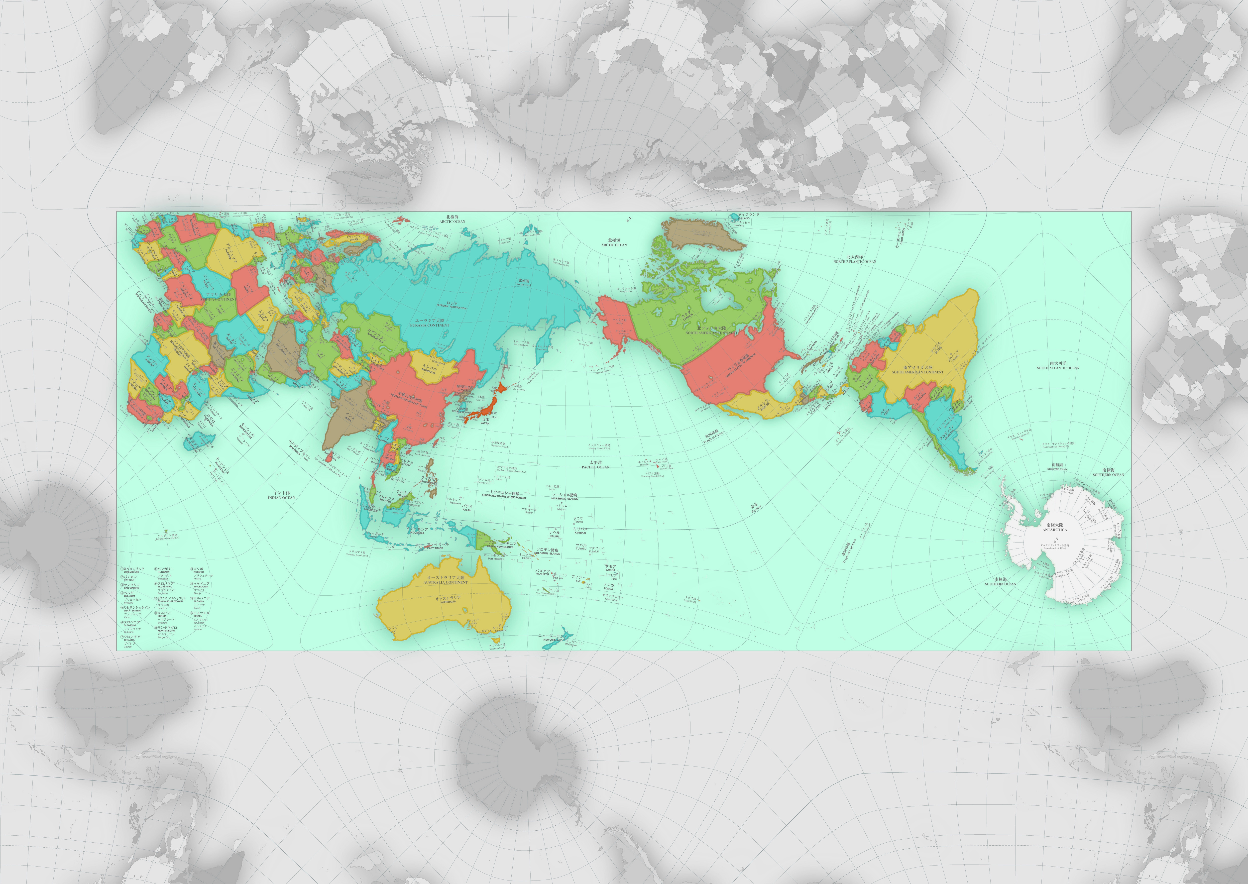
And, to see how countries fit in around the edges:
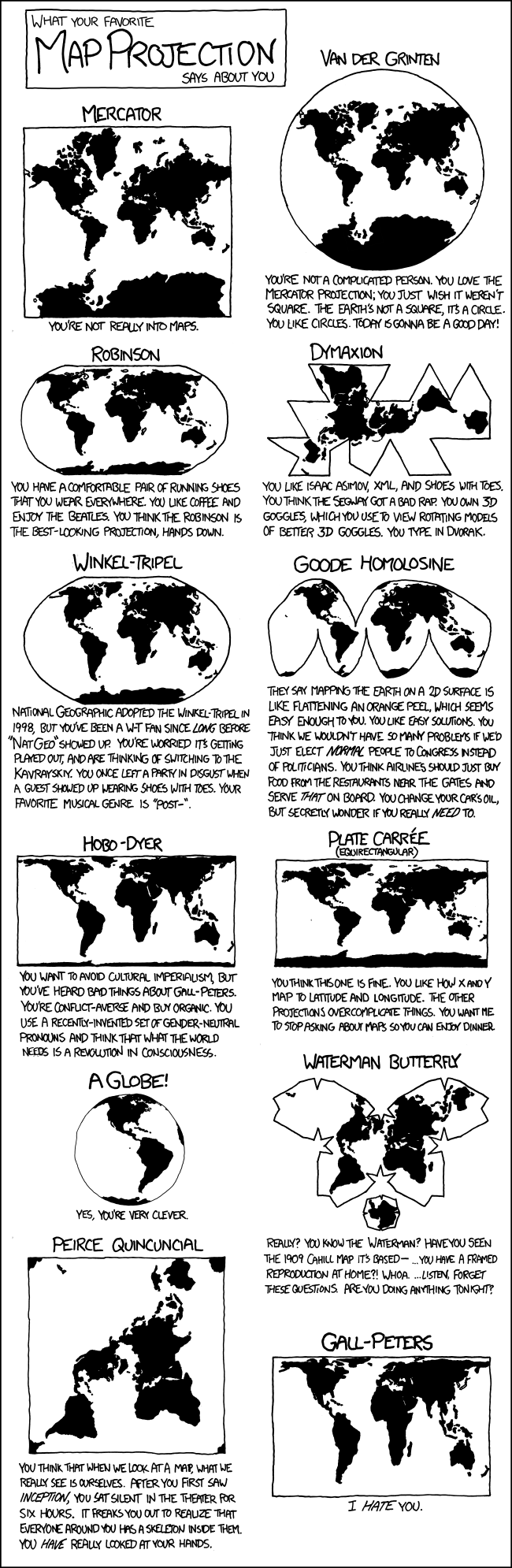
Some fun
Courtesy of XKCD